
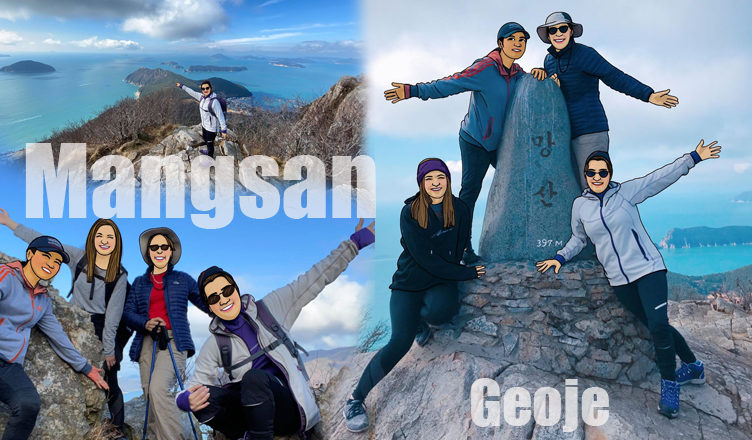
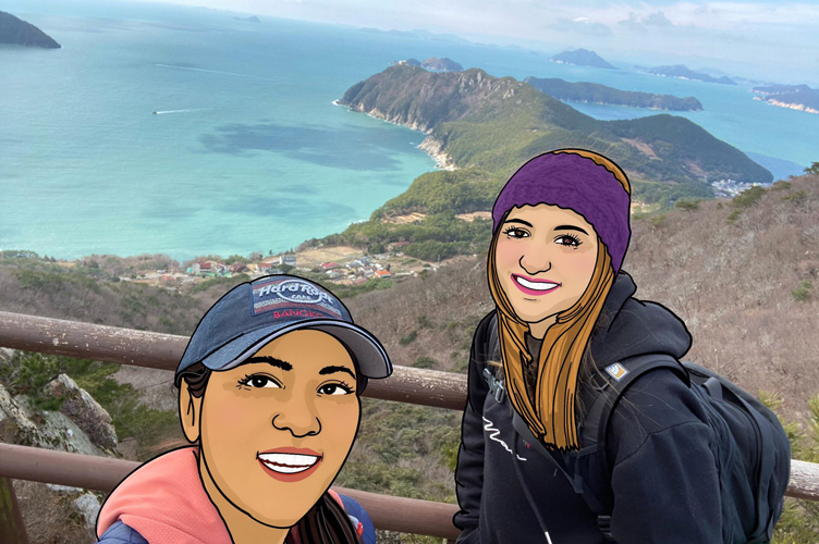
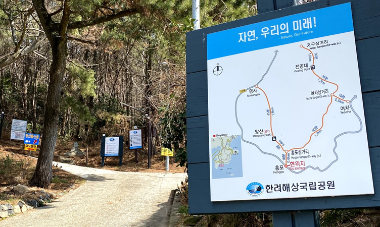
At the Southern end of Geoje Island, Mangsan Mountain is an easy hike and gives you a beautiful view of the sea and surrounding islands!
>>ภาษาไทย
Mangsan peak is only 397m, but I’ve been told if you are here in the clear day, you can see some Japanese Islands!!
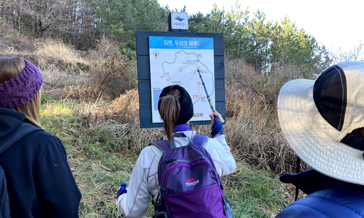
Mangsan is also part of Hallyeohaesang National Marine, there are so many trails to hike here.
But today we did the 6km trip, it wasn’t what we planned for but it was an awesome trip!
We also made this a special farewell hike for Stacey who is going to return home next week.
On this trip, there are 4 of us: Stacey, Elizabeth, Marta and me (Jam).
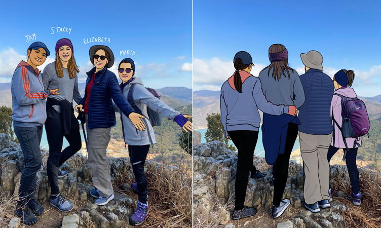
Marta has done many hikes around Geoje in the last 5 years (when her husband first assignment in South Korea), so she knows trails the best and better than all of us!
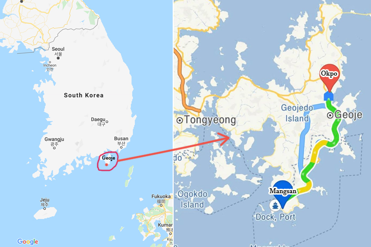
We left our apartment in Okpo around 9 in the morning, and Marta drove for us to Mangsan, it took about 45-50mins to drive around the mountain roads.
We parked our car at Myeongsa beach, there is a public area that I would recommend for you to park AND to use the restroom before going up to the peak.
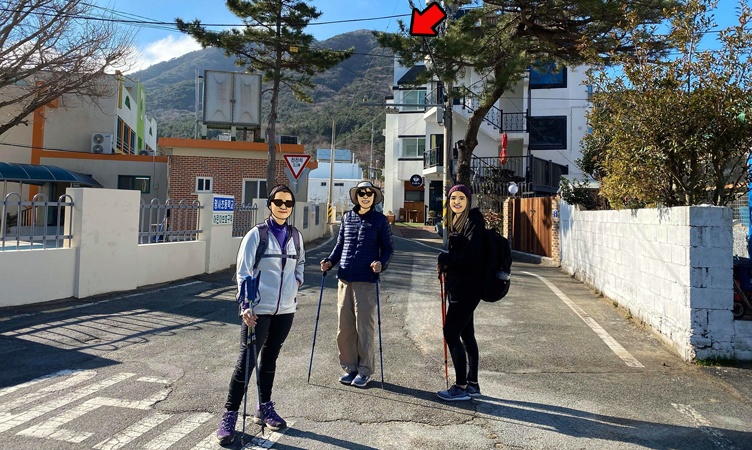
We started at 9.45am in February.
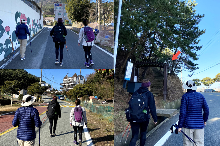
We walked along the street to the start of the trail.
Marta said this is a new trailhead to start. There are not many directions, so Marta told us to download the app called Map My Tracks.
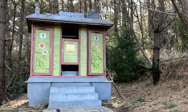
FYI – There is a restroom up here…as I mentioned, I prefer the one where we parked our car LoL.
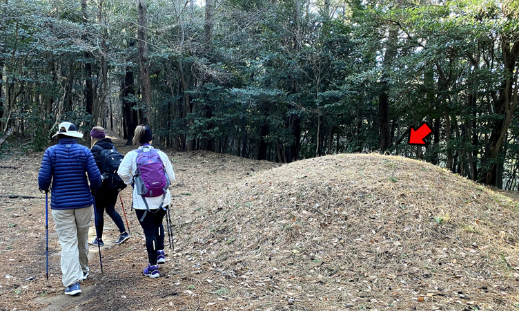
It’s common to hike in South Korea if you see the ground like this mound, there are the Burial mounds!!!
Please be respectful.
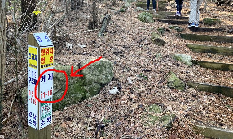
There are trail markers telling you what your position number is. This is very important when you need help or if you get lost, you can call 119 and tell them your position number, so they can find you!
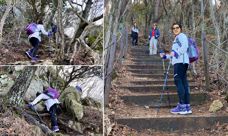
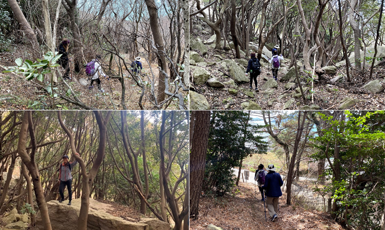
You’ll need to climb up, step up and walk up to the peak. I never thought I needed hiking sticks but Stacey shared one of hers and I think I needed it (at least one stick!)
About another 45 mins (10.25am) and we arrived at the top of the first peak. But it’s not the Mangsan peak!
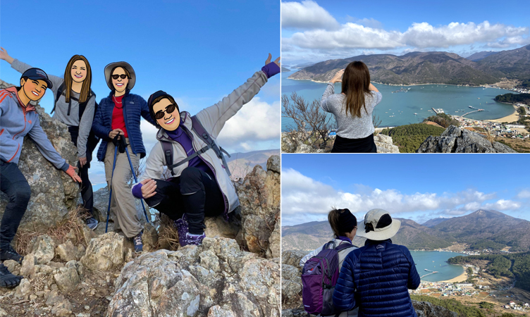
Stop to take pictures and selfies – it’s the must-do!
25 mins later (10.50am) we got on top on the other peak (2nd), but it’s still not a Mangsan Peak!
From here…If you take the same trail as us, it will get a little harder and a little more exciting if you are afraid of heights!
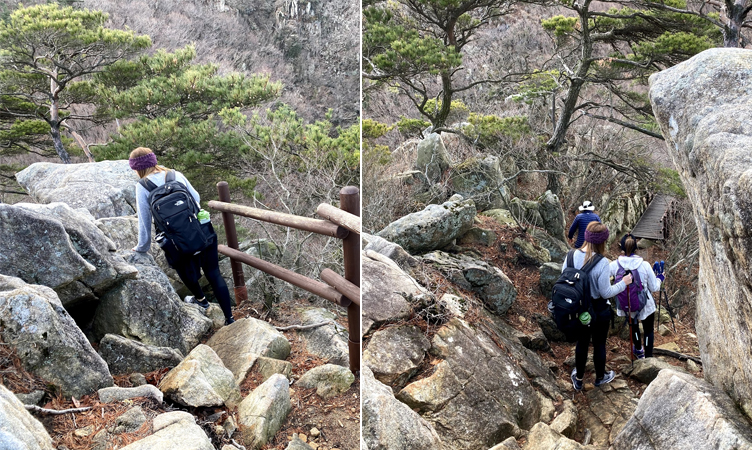
Marta is afraid of heights, but she did a very good job to lead us thru!
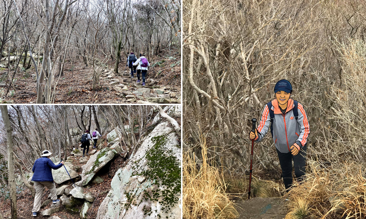
In February, it’s about 65-75F, the trees are not green yet.
Another 25 mins (11.15am) and we arrived at the other peak (3rd)!!!
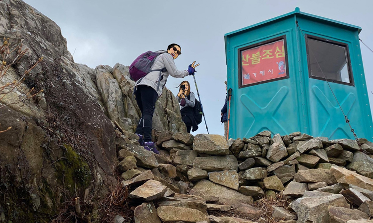
There is a little blue/green house but no one there.
We can see the beautiful view over here too – BUT IT’S NOT MANGSAN PEAK!!!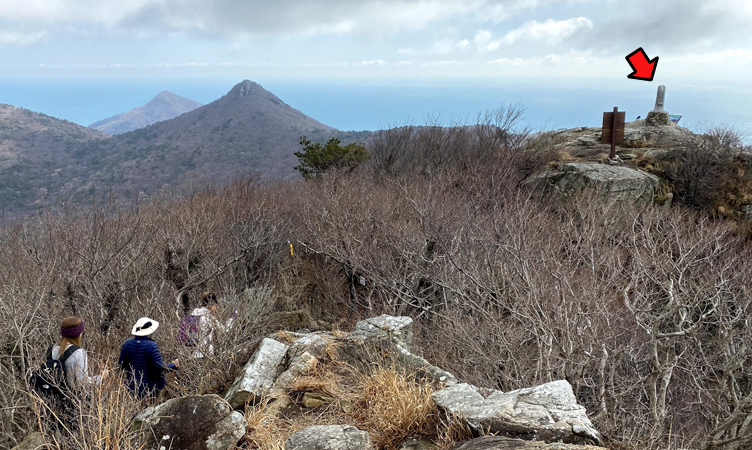
Well, but we can see Mangsan Peak from here, just kept hiking a little more!
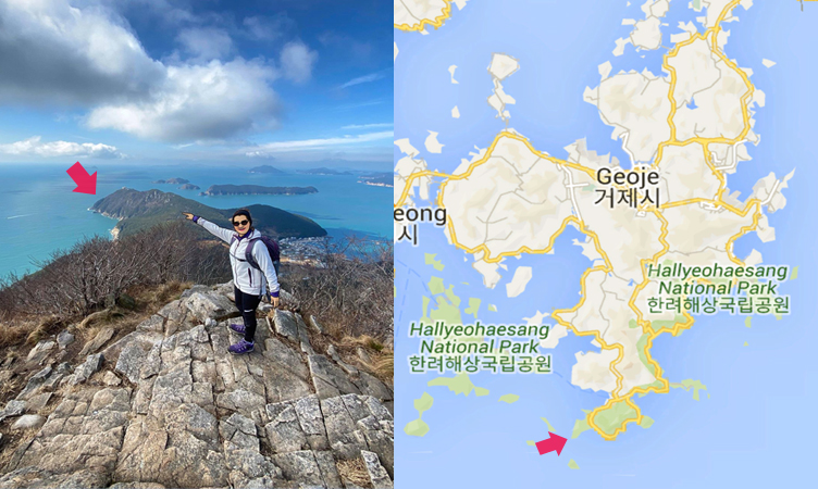
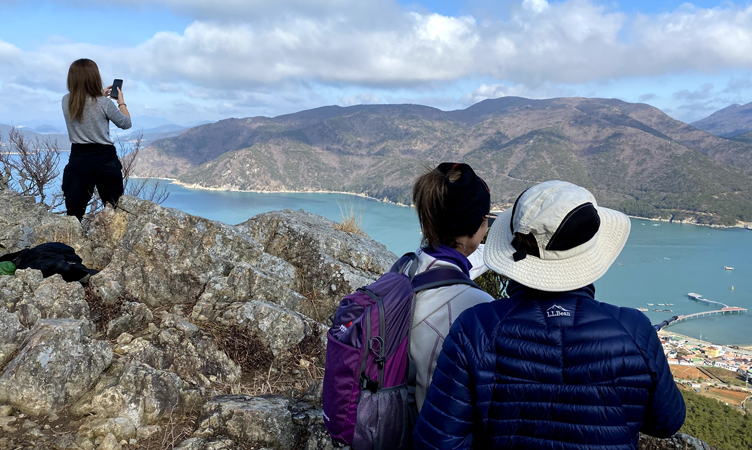
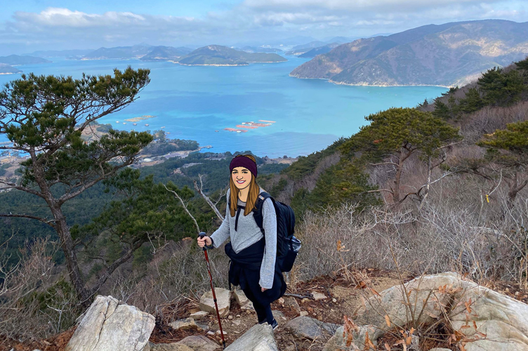
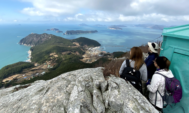
HERE YOU ARE “MANGSAN PEAK”, we can see the end of Geoje Island from here.
We enjoyed the Hallyeohaesang National Marine view, and the harmony of the sea and the islands, from the peak of Mangsan Mountain.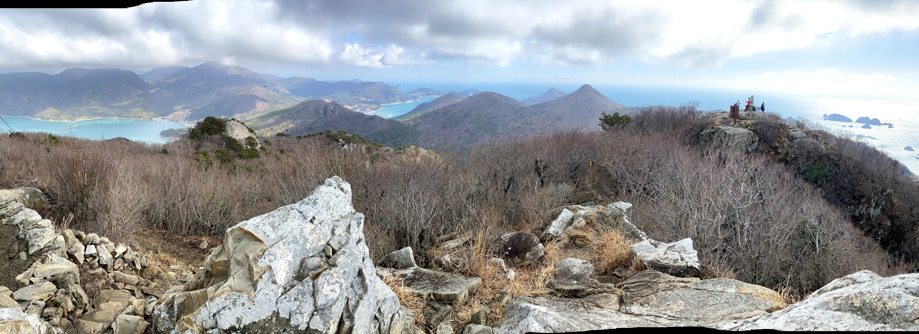
I was wondered why I walked pass so many other peaks just to see this peak for Mangsan, now I can tell its view!
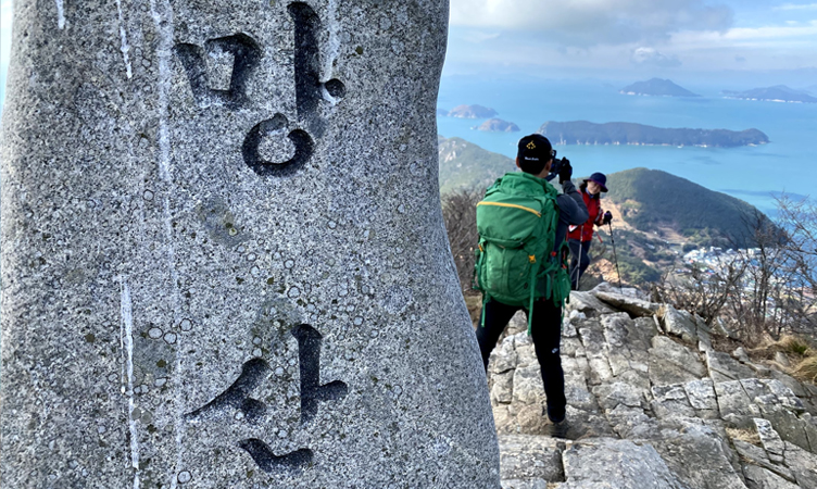
During our climb up, we didn’t pass any other hikers. But once we’re at the Mangsan peak there were many hikers that arrived here and took pictures.
I think they started in different trailheads…
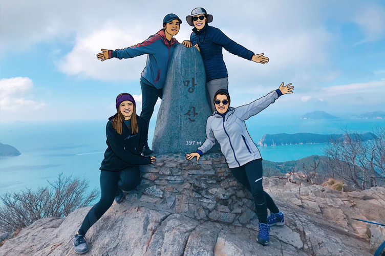
We are at the PEAK…YEAH!!!
Note: “Sajin jig-keo Ju Seyo?”, Could you please take a picture for us?
If you would like to ask the locals to take your picture 🙂
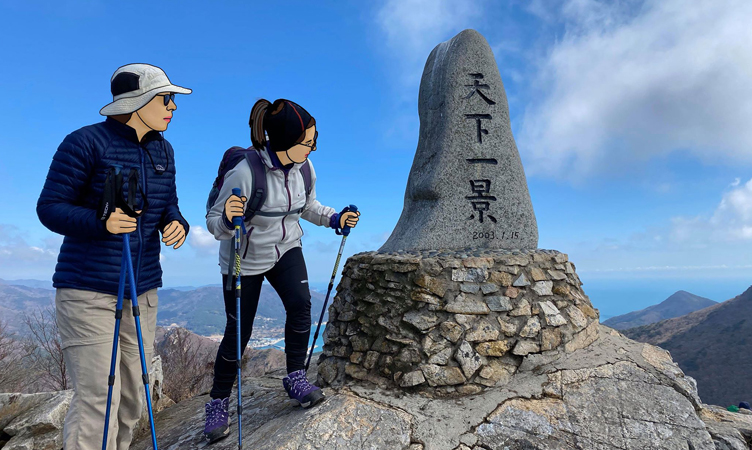
The other side of the landmark sign, these letters are Chinese characters. It says 천하일경, it means the best scenery under the sky (Cr: Tammy Kwon)
This is the best spot for taking a break. Most of the locals bring a meal to picnic up here.
In the past, they would cook ramen or BBQ up here but right now it’s illegal to cook (No Cooking, No Smoking, Littering), the fine is 100,000krw (~$100).
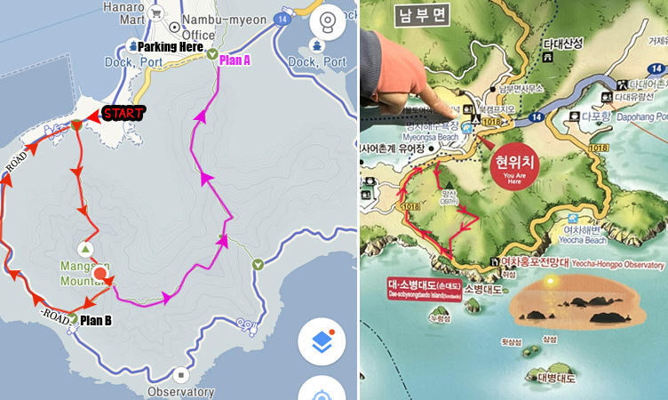
From here, we planned to continue on the PINK line (above picture, Plan A) but we weren’t sure about this trail because there is no sign and the way is too narrow to walk. So we changed our plan to follow the sign to “Hongpo” (Plan B)
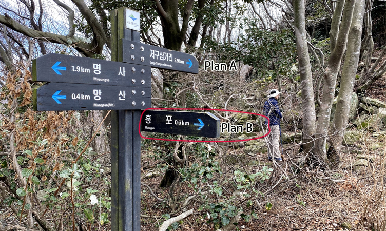
It says only 0.6km to Hongpo (홍포), but we felt like it was a lot longer!
We walked down towards the rocky cliff.
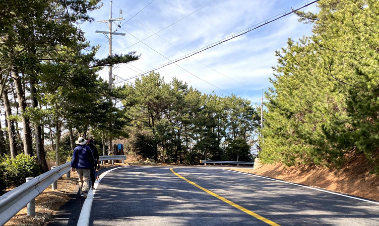
Then we saw the main road, YES WE ARRIVED HONGPO!
Hongpo is also the shortest trailhead to start for Mangsan Peak as well. We should come back here and all the guys!
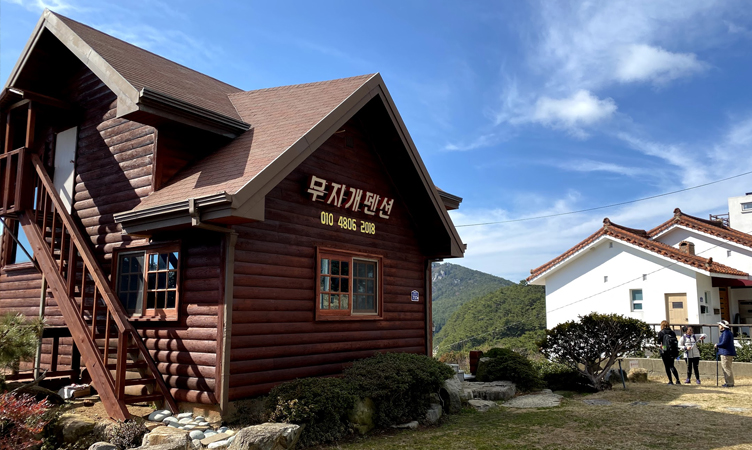
There are many pensions (home stays) along the coast in Hongpo.
We just kept walking on the coastal road back to Myeongsa beach where we parked, about 2km.
Our round trip today is 6km and we took about 4hrs (10am- 2pm, No rush!)
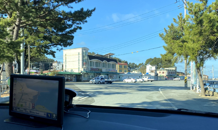
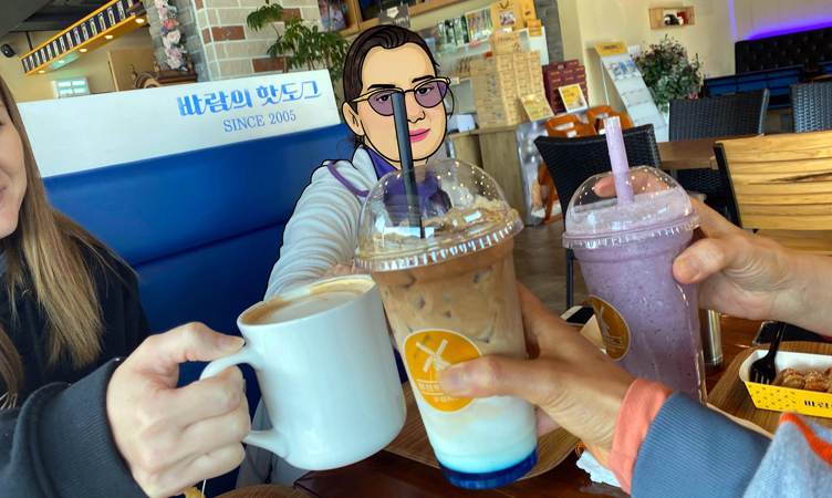
We also stopped at Baram Hotdog (바람의핫도) for some Hot dog and drinks (I stopped here when I came to Windy Hill), the shop is only 5 mins away from Mangsan.
I really can’t explain well enough for this trail (I’m not an expert hiker!) but if you like ocean views, blue sky, mountains, you have to come here.
Or even you don’t like hiking at all, but you still have to come here once if you are in Geoje!!!
Read more our trip in Geoje Island https://www.somethingjam.com/south-korea/geoje-island-south-korea


2 thoughts on “Mountain Hike at Mangsan, 397m high in Geoje Island”